
Walk an Owensboro Street Record Trail
Begin with the exact address as it appears on a recent document. OMPC assigns local addresses and coordinates changes with the Postal Service, 911, the County Clerk, PVA, police, fire, and utilities. That makes its map the best first stop for local address structure. It is not an occupancy list.
Follow the street directory in a fixed order. Save the field labels and dates rather than copying a loose list of names.
- Search the OMPC Locator Map for the site address or address point.
- Open the parcel and note the parcel ID, map number, site address, acreage, plat, and deed-book/page fields.
- Compare the parcel with the Daviess PVA assessment and tax-mailing address.
- Use the deed reference or owner role in County Clerk records to follow the recorded chain.
- For an older household, pair a year-specific directory with a period map or archive source.
When the goal changes from a whole road to a single person, the Owensboro resident lookup explains how to verify a name across records.
Owensboro Street Directory Map Fields
The OMPC Locator Map is an ArcGIS application with parcel, zoning, flood, roads, address points, municipal limits, and other layers. Its inspected search configuration includes parcel fields such as PARCEL_ID, ACRES, MAP_NUMBER, PLAT, and SiteAddres. Map controls include layers, measurement, drawing, printing, coordinates, overview, location, and extent.
| Search field | Use in an Owensboro address search | Limit |
|---|---|---|
| SiteAddres | Find the mapped property address | Not proof of occupancy |
| PARCEL_ID | Carry a parcel into assessment and deed work | Identifier may change after a split or combination |
| MAP_NUMBER | Orient the parcel in county mapping | Not a street number |
| PLAT | Point toward subdivision or survey context | Check the recorded plat |
| ACRES | Compare parcel size | Verify for legal use |
| ZON_CODE and DESCRIBE | Show planning classification | Not ownership or occupancy |
| FLD_ZONE and STATIC_BFE | Add flood planning context | Not a final flood determination |
The underlying service supports query, identify, find, export, legends, JSON, and GeoJSON. Use the live map or responsible office for the current answer, since a documented field can outlast the data shown in it.
Parcel Cards Along Owensboro Streets
The public OMPC parcel layer exposes parcel ID, acreage, subdivision, plat, map number, an owner-name field, full property address, mailing address, city, state, ZIP, lot size, fire district, property ID, deed book/page, and related fields. A sample query returned both a full property address and a separate mailing address. That distinction is central to any by-address search.
- Parcel
- A mapped land unit linked to an assessment identifier.
- Situs address
- The site or physical address assigned to the property.
- Plat
- A recorded map that describes lots, divisions, or a subdivision.
- Criss-cross directory
- A historical directory arranged by address or phone number.
A parcel may be vacant, commercial, institutional, or hold several units. An owner field may show a person or organization that receives no mail at the site. The Owensboro street directory should state what the field says, not turn it into a household claim.
Owensboro Site and Mailing Addresses Differ
Daviess PVA maintains the assessment parcel and tax-mailing address. Its FAQ says the office does not maintain owner phone numbers. It also notes that a late-year purchase may not appear under a new owner before the next January 1 assessment roll when the deed is not recorded in time. Parcel splits and combinations can alter the context.
The PVA mailing-address form asks for the owner, property location, new mailing name and address, city, state, ZIP, relationship, date, phone, and submission details. Filing the form changes where assessment or tax mail goes. It does not prove occupancy or alter ownership by itself.
Address rule. In an Owensboro street directory, label the site address, mailing address, deed description, and USPS delivery result as four different facts.
PVA says its public site is free but requires a username and password. If the account route or linked search fails, use the PVA office in Room 102 at 212 St Ann, call 270-685-8474, or submit an open-records request by email, mail, or in person.
Owensboro Records Searchable by Address
No single Owensboro street directory contains every household. The following record sets answer narrower address questions and provide online, counter, mail, phone, or library fallbacks.
| Address record | Custodian | What it shows | Access |
|---|---|---|---|
| Address point and parcel map | OMPC | Street parts, units, parcel, zoning, flood, limits | Public map and REST; phone 270-687-8650 |
| Assessment parcel | Daviess PVA | Assessment and tax-mailing context | Account site, office, open-records request |
| Deed, mortgage, plat, lien | Daviess County Clerk | Legal parties and recorded land instrument | eCCLIX, walk-in, mail, noncertified fax |
| Tax bill | Daviess Sheriff | Collection status and annual tax account | Online bill route, office, phone |
| Permit or address assignment | City and OMPC | Permit address, owner or contractor role, plan fields | Department route or defined request |
| Historical street entry | DCPL, KHS, KDLA | Dated occupant or business snapshot | Catalog, library, microfilm, archive request |
USPS validates delivery-oriented addresses and ZIP Codes. It warns that a result does not confirm that a person or company uses the address. Public utility customer lists and private delivery data were not located in the research.
Follow Deeds Down an Owensboro Block
The Daviess County Clerk land-record page is the official route to deeds and other recorded instruments. The Clerk says records are public except Military Discharge Papers and states that staff do not conduct title searches or research for customers. Registered eCCLIX users can view and print documents through the account portal.
Use the parcel's deed-book/page or legal description as the bridge. Record document type, date, parties, book/page or instrument number, and any prior reference. Search the present owner as grantee to find the acquisition deed, then search the seller as grantee farther back. A deed shows conveyance. It does not establish who slept at the property.
Walk-in copies are available during the Clerk's stated 8 a.m. to 4:30 p.m. window. The researched rates are $0.50 per standard page, $1 for 11-by-17, and $5 for the first three certified pages plus $0.50 for each added page. Mail requests need enough detail, a return address, and a phone number. Noncertified fax copies are another channel; certified copies cannot be faxed.
Tax Records Add Owensboro Timing
The Daviess Sheriff collects county property tax, while PVA handles assessment questions and the Clerk handles later tax-sale functions. Those are separate roles. The tax calendar gives a time stamp to an account but does not settle title or occupancy.
The Daviess County tax collection page shows the assessment and collection contacts, official bill route, and annual timing.
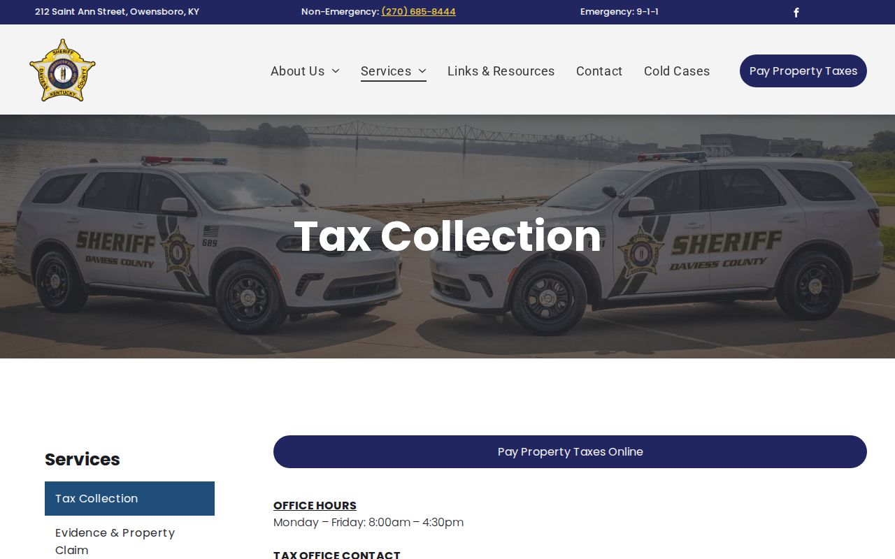
The inspected calendar lists a two-percent discount from November 10 through December 10, base payment through January 10, then penalty periods. Check the current page before relying on a date or amount.
Note: A tax account helps date an assessment or collection event, but a deed image remains the legal source for conveyance.
Owensboro AddressPoint Finds Units
OMPC's AddressPoint layer explains why one street number may not equal one household. Fields include number, street parts, full address, division, community, alternate number, assignment date, complex name, label, unit type, ZIP Code, unit, building, apartment, and update date. The Roads layer adds street components, owner or agency, speed, travel time, and parity.
Use a point to confirm that a unit or building label exists in GIS. Then click the parcel beneath it. A large parcel can contain several address points; one point can carry building or apartment detail without naming any occupant. The assigned and updated dates may help explain why an address is missing from an older record.
The OMPC AddressPoint service documents the field list. For an assignment question, a new subdivision, or a permit-linked address, contact OMPC rather than making an unofficial address.
Owensboro Voter Lists Are Restricted
Kentucky's individual Voter Information Center asks for legal first name, last name, date of birth, and the last four digits of a Social Security number. It does not publish a block or street list. That makes it useful for a person checking an individual registration, not for compiling everyone on an Owensboro road.
The SBE-84 bulk voter product can offer precinct, street, or ZIP-oriented formats only to qualified requester categories. The request uses an oath, fees, a declared purpose, and restrictions. Protected voters and Kentucky Safe at Home add further safety limits. The Daviess election office is the local fallback for a defined record question.
An Owensboro street directory can say that the voter system is identity-based and that restricted bulk geography exists. It should not imply that a public, address-keyed voter roster is available.
Historic Owensboro Streets Need Dates
Downtown Second Street appears in official historic documentation, and the 1890 Sanborn map preserves period building and street context. Historical directories, maps, and modern GIS may disagree because of spelling, renaming, renumbering, annexation, postal convention, or source error. No official citywide historic address-conversion schedule was found.
For an old address, identify the directory or map year first. Search that year's street guide and entry. Compare it with the Sanborn map or a historical newspaper, then look for the physical road or parcel in current OMPC data. Mark any proposed old-to-new match as an inference until a plat, deed, survey, or archive record supports it.
The historical shelves belong to the Owensboro directory book page. On the street page, they serve one job: showing what a named address meant in a specific year.
Owensboro ZIPs Do Not Set Limits
Owensboro commonly intersects Census ZCTAs 42301 and 42303, but a ZCTA is a statistical approximation. USPS ZIP Codes serve mail delivery. OMPC's Owensboro Limits layer describes municipal geography. These boundaries need not match, and a parcel with an Owensboro mailing city can sit outside city limits.
Use the live USPS ZIP Code Lookup to validate delivery, the OMPC AddressPoint ZIPCODE field for local map context, and the separate Owensboro Limits layer for jurisdiction. Do not infer a person's residence, city-tax status, or voting status from ZIP alone.
This geography rule also matters on roads that approach or cross a city boundary. Browse by street, but read the municipal-limit layer before describing a parcel as inside Owensboro.
Limits of an Owensboro Street Directory
Public address records do not list every renter, child, household member, utility customer, protected voter, unlisted phone, or delivery recipient. Motor-vehicle address data is restricted by the federal Driver's Privacy Protection Act. A parcel owner may live elsewhere. A tax-mailing recipient may be an agent, company, or family contact. A historic directory can be incomplete or wrong.
Use the least amount of data needed for a lawful task such as family history, parcel research, a deed check, or civic curiosity. Record field names and source dates. If a map point is missing, contact OMPC or PVA. If a recorded instrument is absent online, use the County Clerk's walk-in or mail route. If an early trail breaks, the 1865 courthouse disaster may explain the gap, and KDLA, tax, church, or newspaper sources may help.
Lawful use. Owensboro street and address records may be used for lawful personal research. Never use them to stalk, harass, intimidate, or harm a person.
A careful street directory reports what an official record says, what date it covers, and what remains unknown. It never turns a parcel polygon into a household roster.