
Owensboro Neighbor Sources by Block
Public sources describe land, addresses, roads, planning layers, deeds, or civic areas. None is a master roster of Owensboro neighbors. A parcel owner may live elsewhere. An address point can mark a unit without naming its occupant. Read each source within those limits.
| Source | What It Shows About a Block | Access |
|---|---|---|
| OMPC parcels | Polygons, parcel IDs, acreage, site and mailing fields, plat, deed reference | Public map and REST service |
| OMPC AddressPoint | Street, unit, building, apartment, ZIP, assignment and update dates | Public map and REST service |
| OMPC Roads and limits | Road components, agency, parity, city boundary, zoning and flood context | Public map layers |
| Daviess PVA and Clerk | Assessment context and legal chain for one parcel | Portal, office, copies, requests |
| Neighborhood Alliances | Civic areas, chairs, meeting dates and places | City page; no member list |
| VIC and SBE-84 | Individual status or qualified geographic data | Identity check or restricted order |
For one parcel, compare the site and mailing addresses before asking whether owner occupancy is even plausible. Do not publish a combined list from every popup. If a parcel is vacant, commercial, institutional, multi-unit, or beyond city limits, do not call it a neighboring household.
Owensboro Locator Map Controls
The OMPC Locator Map supports parcel, zoning, flood-zone, and world locator searches. Layer List, Measurement, Draw, print, coordinates, and extent controls help define a short street segment. The configured search offers up to six suggestions or results and a set zoom scale.
Measurement can express feet, yards, meters, miles, acres, hectares, square feet, or square miles. Use it for distance or area context only. A radius drawn on a map does not turn the enclosed land into a list of Owensboro neighbors.
Map an Owensboro Block Outward
The adjacent-parcel method moves from one verified point to nearby map features. It keeps the task small and makes every claim traceable. The map has no public “neighbors” button or household export.
- Search the address or parcel ID in the OMPC Locator Map.
- Turn on Parcels, AddressPoint, Roads, Owensboro Limits, zoning, and flood layers.
- Zoom, pan, and click the adjacent polygons or address points to read public fields.
- Record parcel and map IDs, not a compiled household roster.
- Use parcel ID or legal description to move to PVA or eCCLIX when needed.
- Ask OMPC or PVA when an expected feature is missing instead of filling the gap elsewhere.
For a full named road rather than the immediate block, switch to the Owensboro street directory workflow. That keeps this Owensboro neighbors search at its intended radius.
Owensboro Address Points Are Not People
The OMPC AddressPoint service carries number, street parts, full address, community, alternate number, assignment date, complex name, unit type, ZIP, unit, building, apartment, and update date. These fields can distinguish a multi-unit building from a single street label.
They do not reveal each occupant. The parcel layer may show a public owner-name field and separate property and mailing addresses. The PVA maintains the tax mailing address. These fields explain the land and tax record, not who sleeps at the site. This local two-address problem is why Owensboro neighbors should never be inferred from one popup.
- Parcel
- A mapped tract of land with its own identifier.
- Address point
- A mapped location assigned an address, sometimes with unit parts.
- Situs address
- The physical property address rather than the tax-mail destination.
- Legal description
- The deed and plat language identifying the land.
Owensboro Neighborhood Alliances
The City neighborhood alliance page supplies public civic contacts and meeting details. Twelve alliance names appear, with Hillcrest and Southeast marked inactive. The city does not publish member rosters. That absence is useful: people can join local civic life without becoming a searchable household list.
| Alliance | Public status | Available route |
|---|---|---|
| Apollo; Audubon-Bon Harbor; Dogwood Azalea | Meeting and chair details listed | City alliance page |
| Dugan Best; Midtown East; Northwest | Meeting and chair details listed | City alliance page |
| Old Owensboro; Seven Hills; Shifley-York | Meeting and chair details listed | City alliance page |
| Wesleyan-Shawnee | Meeting and chair details listed | City alliance page |
| Hillcrest; Southeast | Listed as inactive | No active directory located |
The official alliance screen shows the civic route captured for this page.
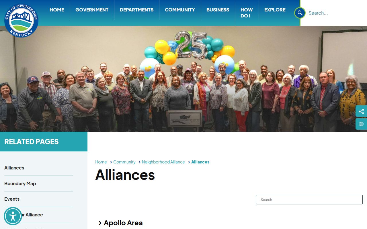
The image documents community access without disclosing private member names.
Owensboro Voter Data Is Restricted
Kentucky's individual Voter Information Center requires legal first name, last name, date of birth, and the last four digits of a Social Security number. It is not an open street or block list. The SBE-84 bulk route can request precinct, street, or ZIP formats only for qualified requester categories.
The formal order asks for identity and entity details, geographic scope, voter group, format, oath, payment, and signature. Its data remains subject to legal use limits. This makes the voter layer an administrative route, not a casual method to name Owensboro neighbors. A portal mismatch may also reflect list maintenance rather than a move.
Note: Contact Daviess County Elections for a defined official question rather than inferring a block roster.
Official Records Versus Neighbor Tools
Official sources identify the custodian, record class, fields, date, and access rules. Commercial neighbor tools may blend parcel, voter, directory, and other data without making each source clear. Their names can be old, joined to the wrong unit, or drawn from a mailing address.
| Official local route | Commercial category |
|---|---|
| Defined parcel, address, road, deed, or civic record | Mixed-source profile |
| Known office and correction route | Source and refresh date may be unclear |
| Field labels preserve owner, mailing, and site distinctions | Labels may collapse owner and occupant |
| Legal limits remain visible | Use limits may be easy to miss |
For Owensboro neighbors, the safer course is the adjacent-parcel map plus the public alliance contact. Retain the least data needed to answer the question.
Owensboro Community History Layers
DCPL yearbooks, oral histories, directories, and local files can add historical block context. Diocese cemetery resources and Potter's Field history add family and community clues. No public congregation, block-watch, civic-club, or HOA membership rosters were located in the inspected sources.
Historical sources should stay dated. A directory entry or burial record does not describe a current household. Likewise, an alliance name is a civic area, not proof that every address participates. This human layer can explain how an Owensboro block changed without exposing the people living there now.
Privacy Limits for Owensboro Neighbors
Private household members, non-owner occupants, utility customers, delivery data, and unlisted phone numbers were not found as open local directories. Kentucky Safe at Home provides address substitution and mail forwarding for eligible survivors. Redaction and confidentiality can make a careful official search stop.
A missing result is not proof that a person moved or that a parcel is empty. Ask the responsible office about correction or access when a defined public record seems wrong. Do not work around a safety program with a second source.
Lawful use. Use Owensboro neighbors research for civic contact, property curiosity, or a personal safety question. Never watch, threaten, intimidate, or harass anyone.